Sydney Catchment Authority:
Pollution Source Database
PSD
PSD with map
project name
Sydney Catchment Authority - Pollution Source Database
the aim
The Sydney Catchment Authority (SCA) required a system that could record information on potential pollution sources (both point and diffuse) in the Sydney water supply catchment area. Spatial Intelligence was commissioned to develop a spatially enabled application to meet these requirements.
the solution
A GIS enabled Pollution Source Database (PSD) was developed based on the following components:
- Microsoft Windows
- SQL Server
- Microsoft Office
- ESRI ArcSDE
- ESRI MapObjects
- Citrix
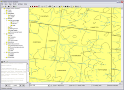
- Is spatially enabled which greatly enhances visualisation of data
- Records the location and address details
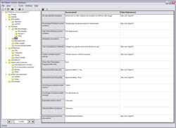
- Records pollution source details including type, extent, impact and sample data
Tags
more details
For more details please use our 'Contact us' page or email us at info@spatialintelligence.com.au